





Artist Statement
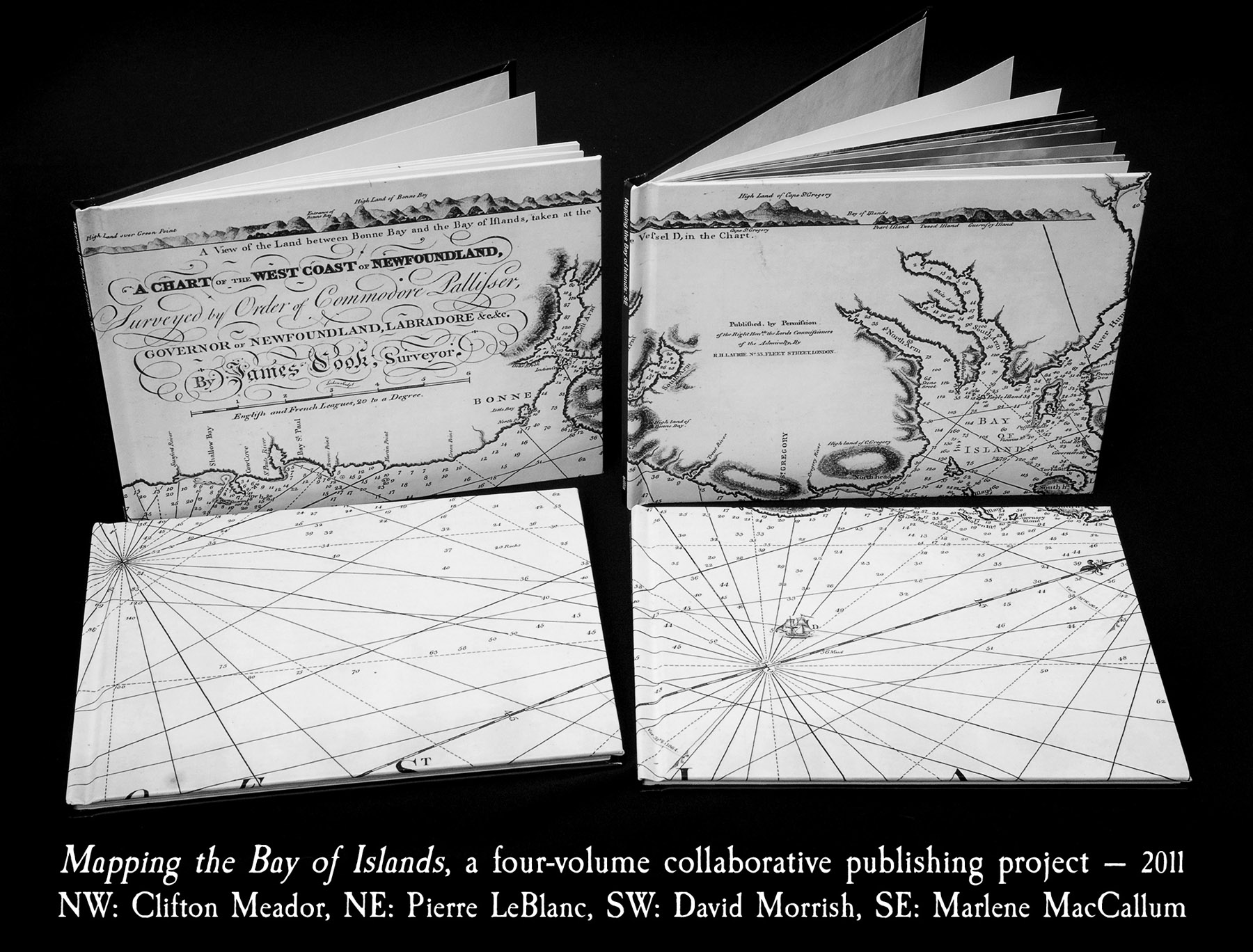
Mapping the Bay of Islands is a four-volume collaborative publishing project with Clifton Meador (NorthWest), Pierre LeBlanc (NorthEast), David Morrish (SouthWest), and Marlene MacCallum (SouthEast). The only parameter for the collaboration was that each person would use the historical fact of James Cook’s mapping the Bay of Islands on the west coast of Newfoundland in 1767 as the catalyst for their piece. Each artist used one quadrant of Cook’s map of the Bay of Islands as the cover for their book. Their individual explorations resulted in four different visual/textual considerations of navigation. These print-on-demand books were once available through Lulu.
18.5 cm × 23.4 cm 0.9cm (closed, each) 2011
The first four image spreads simultaneously show all four participants. The subsequent singular spreads are excerpts from Morrish’s SW volume.